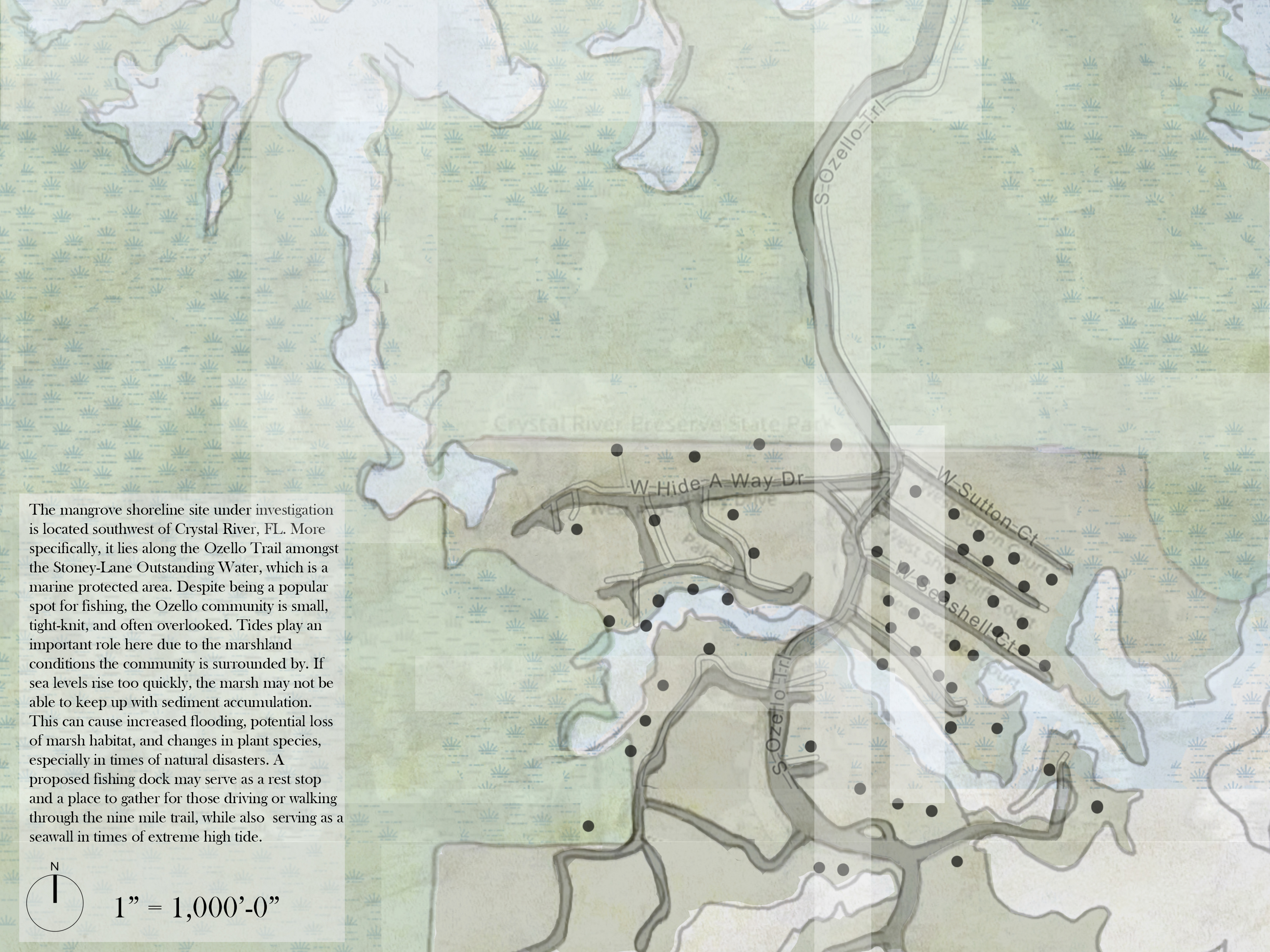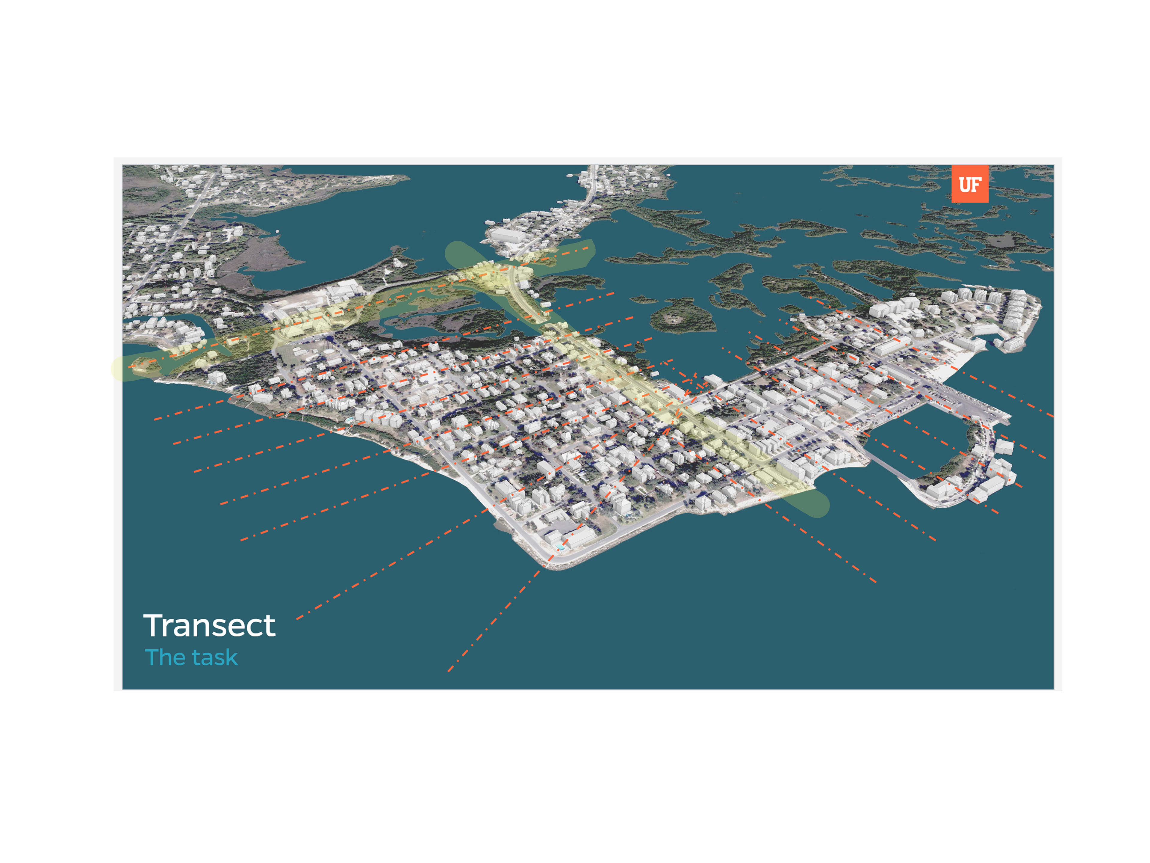
Upon visiting Cedar Key and meeting with the community and its leadership, we were tasked with studying a specific transect of the island. A transect refers a path cut through a landscape along which documentation, measures, counts, or observations can be registered, tabulated, and compared. This was in an effort to study the coastal edges of the greater site and the activity that occurs through each transect.
This was done in conjunction with Mykah Bourgeois, where we studied the topography, landscaping, zoning/land use, transportation, infrastructure, and human experience of two transects through Cedar Key. These are highlighted in the image above.

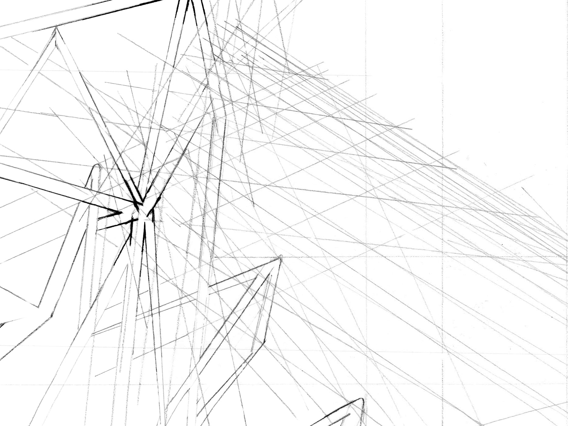
Blind contour sketches (left side) and regular sketches (right) of distinct points along the transects
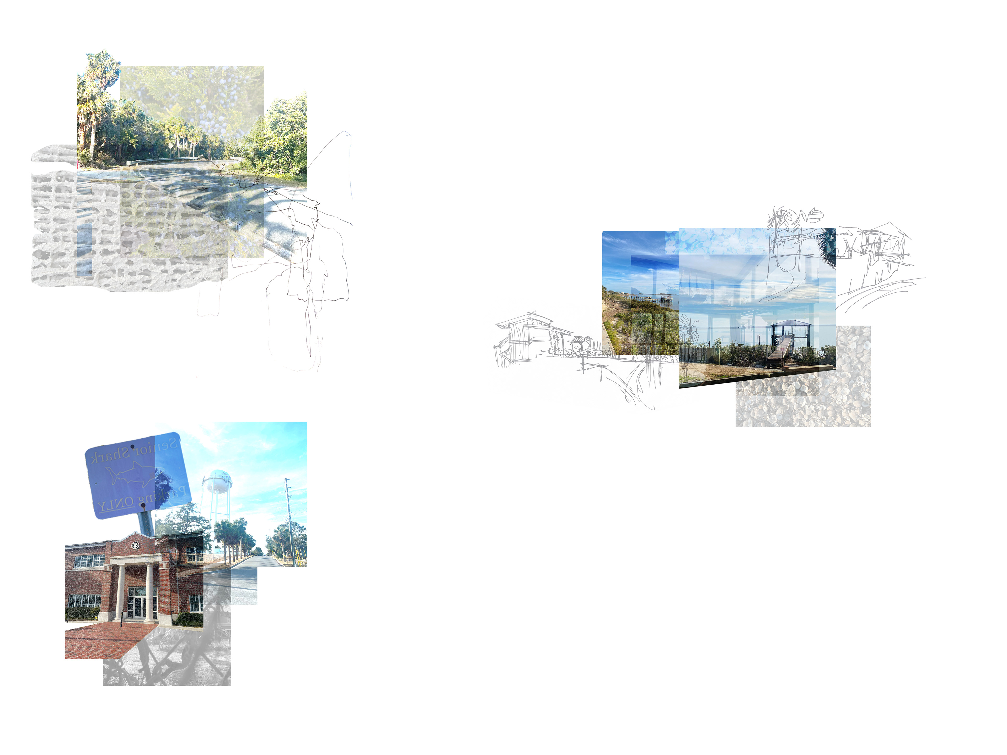
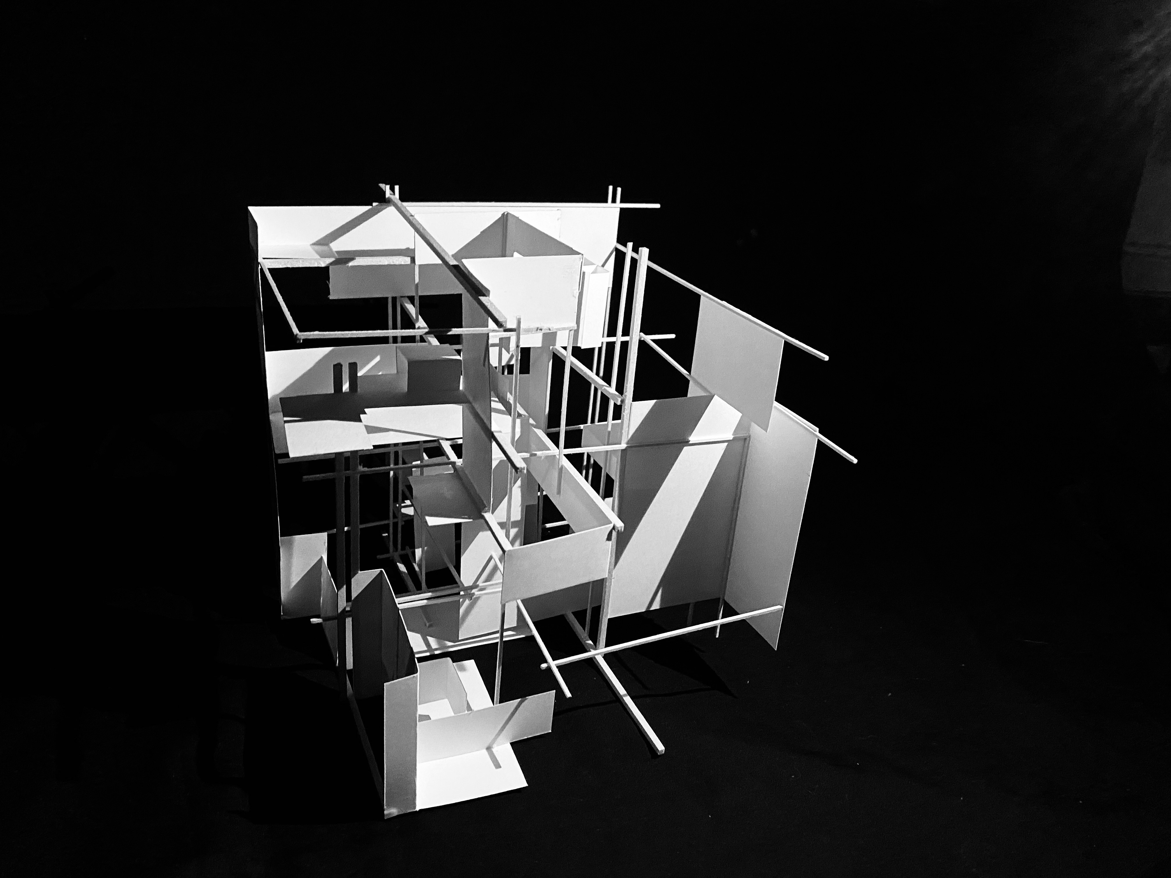
Vignettes designed from a series of images and sketches completed along the transects
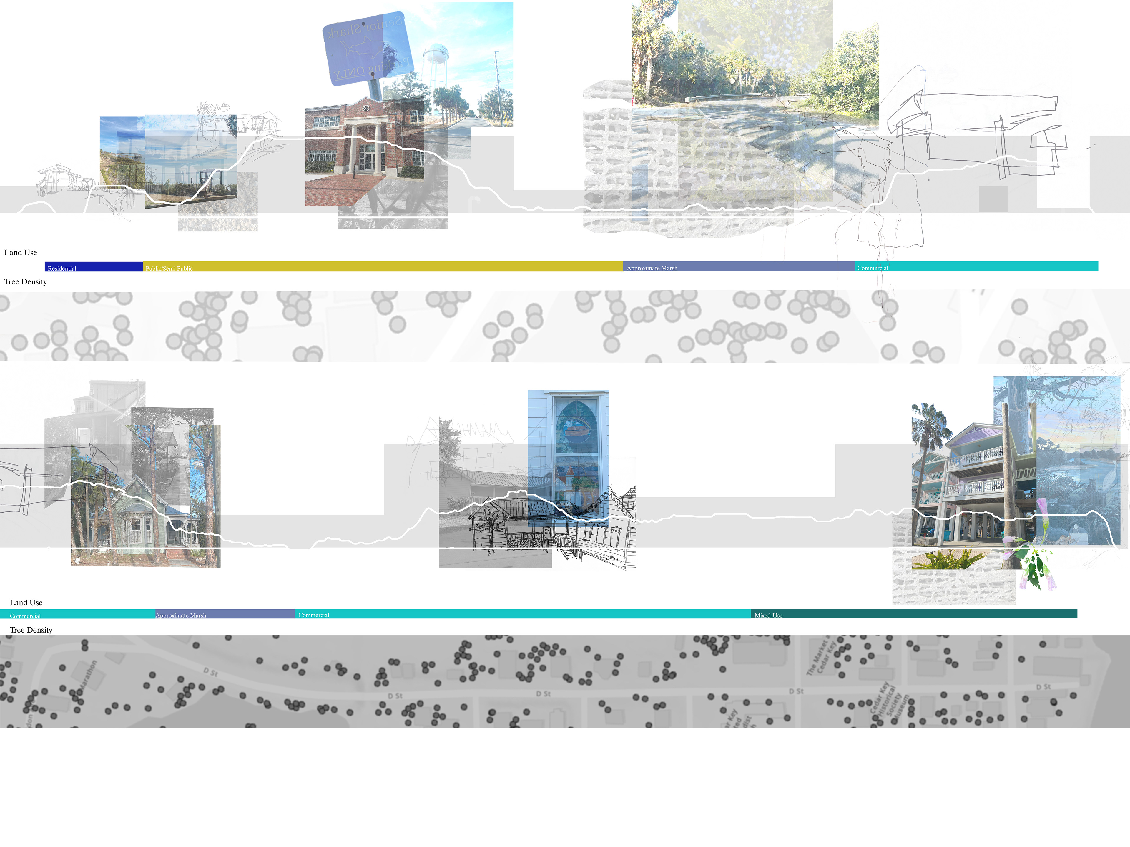
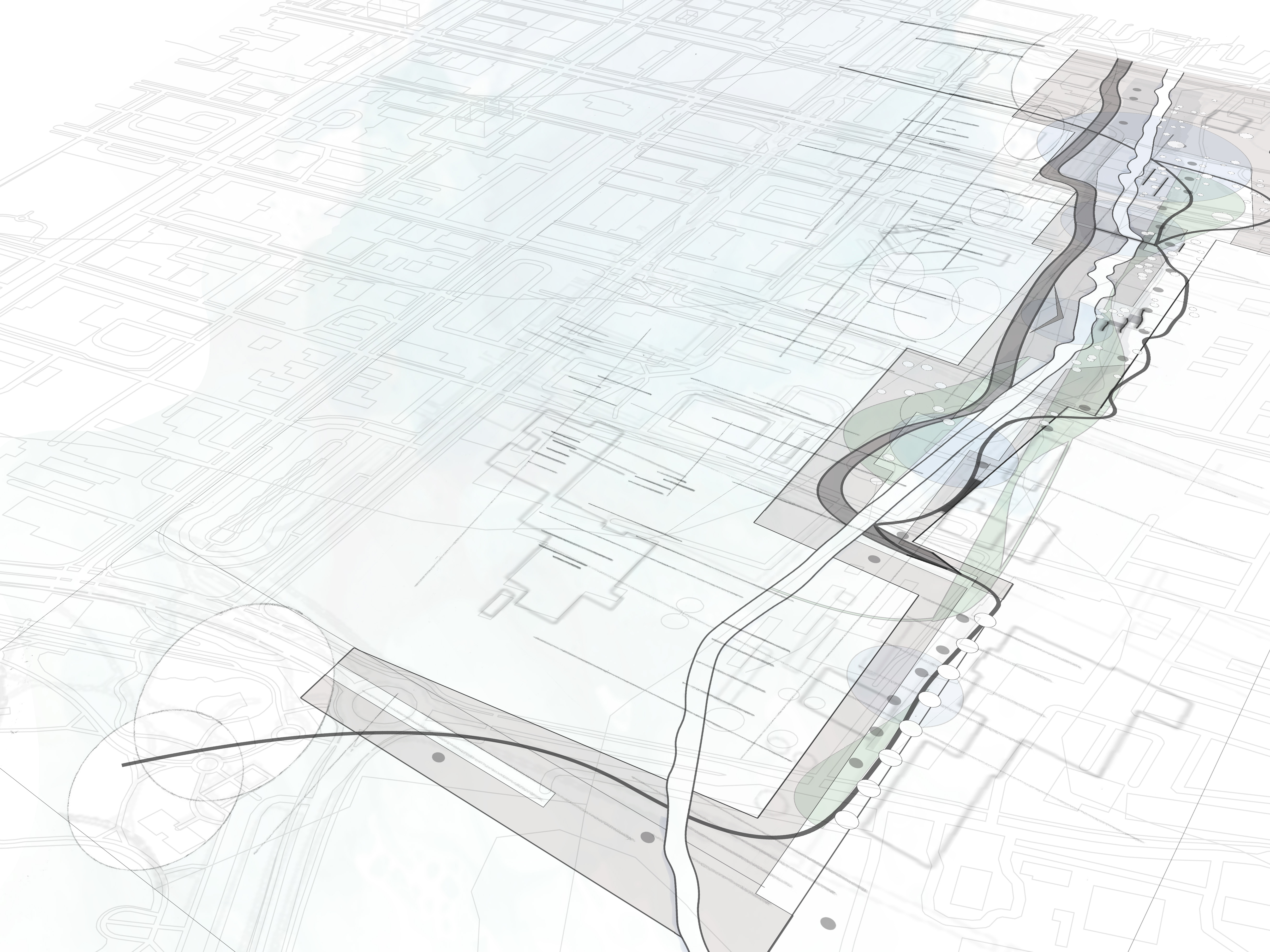
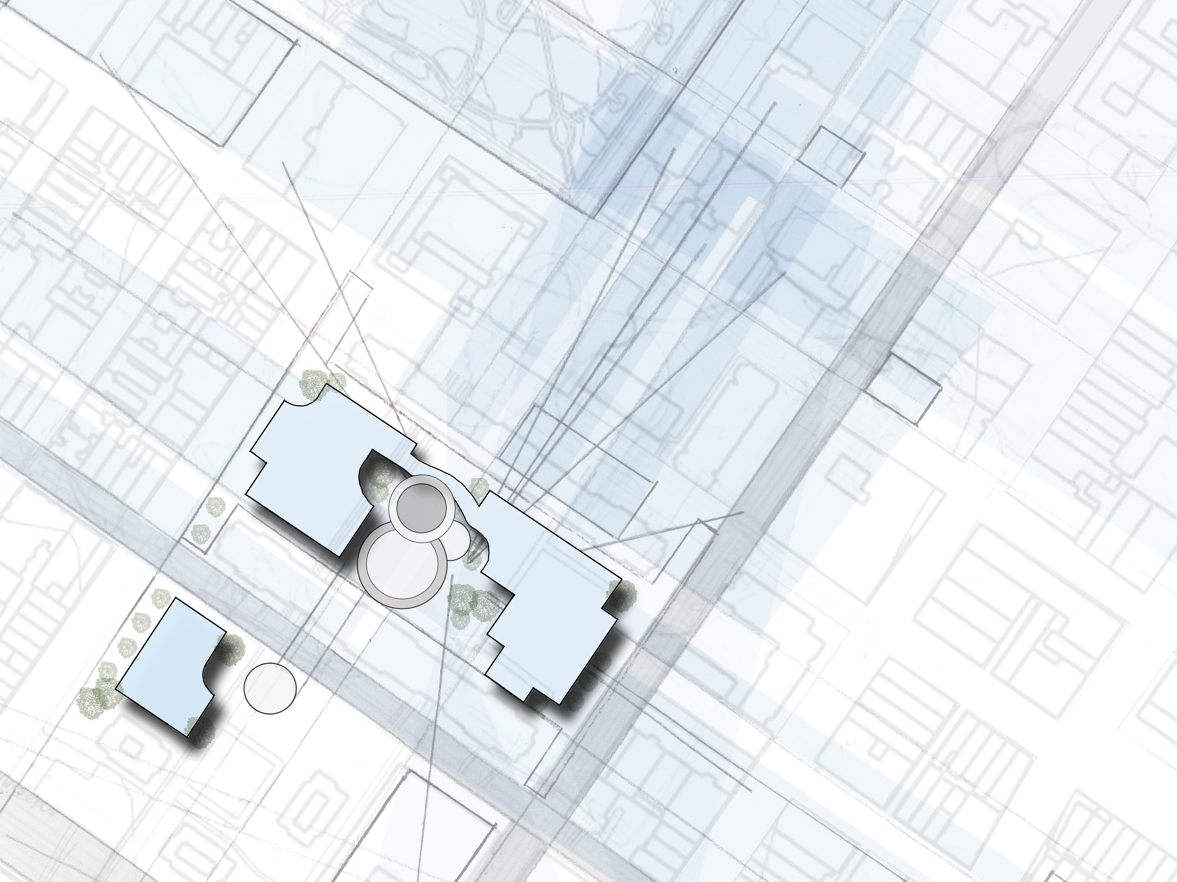
Transect study highlighting overlaps of site features. This indicated how certain community fixtures are situated at specific elevations, the land use it is zoned in, the transportation used there, and the tree coverage in the area. For example, the school is located at a higher elevation to avoid flooding issues. Once can see its relationship to the large marsh area adjacent to it.
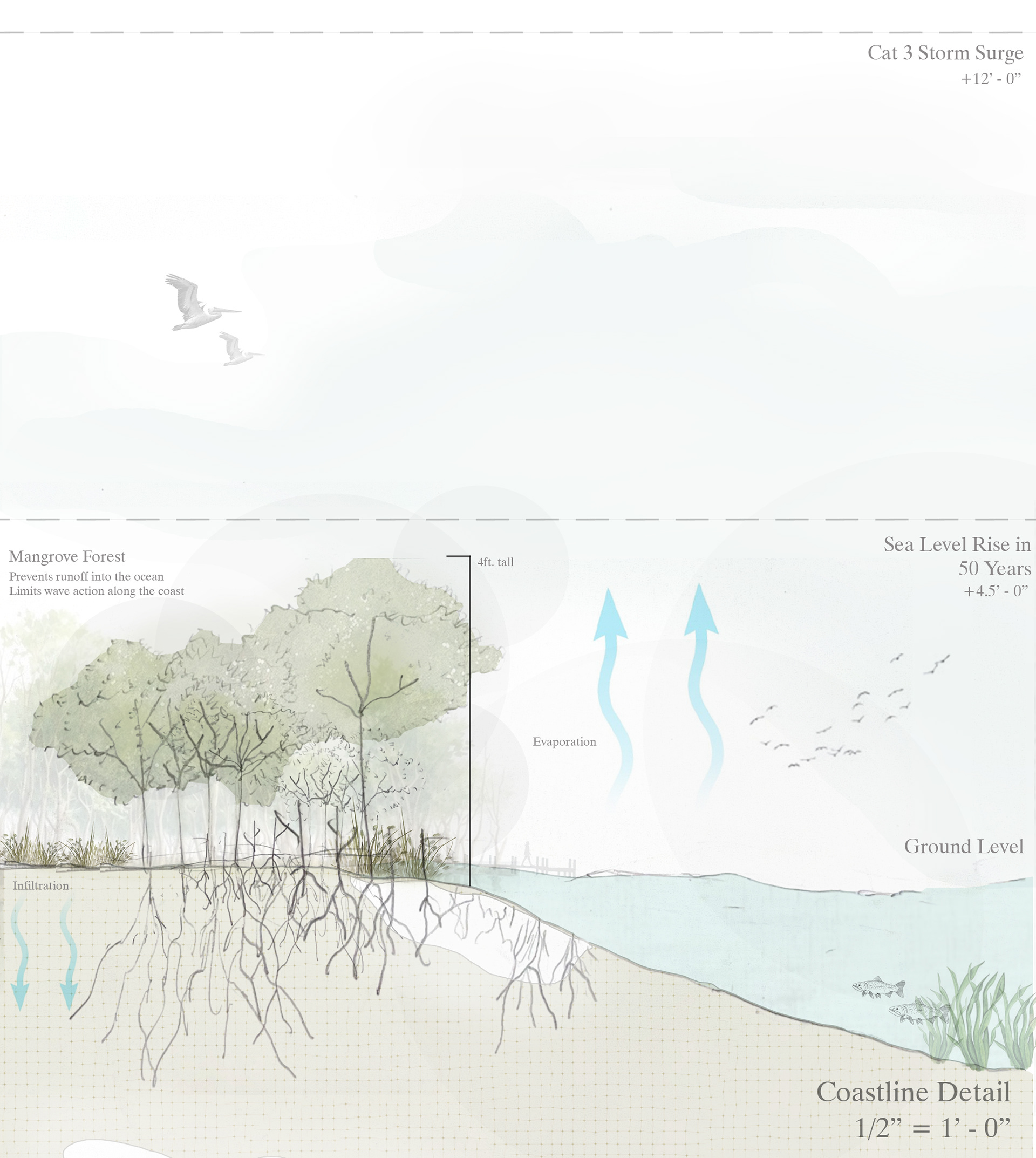
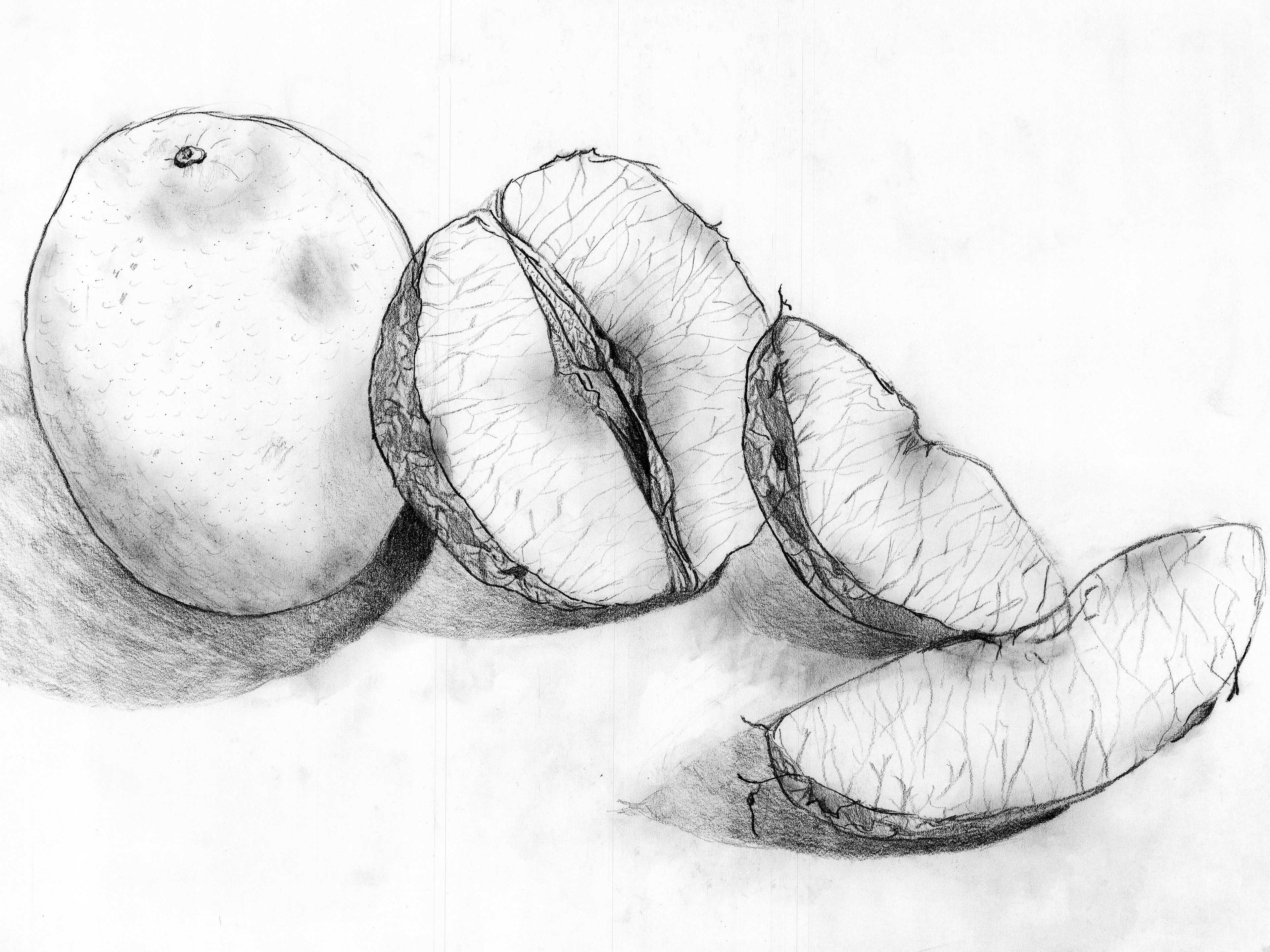
This detail examines the coastline along the gulf side of the island and how mangroves are resilient, natural fixtures